Skymont invested in a residential project in Los Angeles, California. which has incorporated sustainability in the heart of the development process by preserving the natural environment through years of planning, studies, and giveback.
Our Partnered Developer
Grandway Residential, an institutional-quality full-cycle residential developer deeply rooted in the Southern California communities, and founded on a two-generation legacy of providing high quality home building services covering land acquisition, planning and entitlement, design and engineering, financing, marketing and sales
Challenges
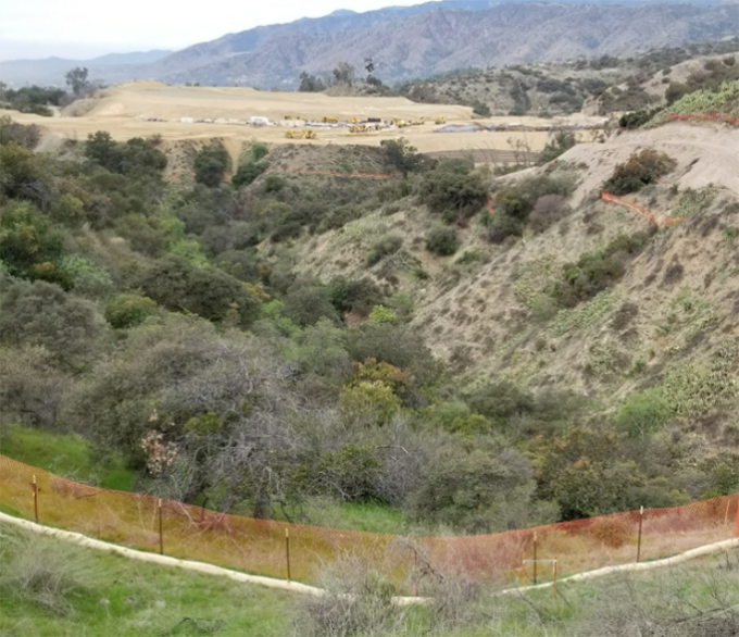
Minimizing the impact on the existing environment and views of the local community of San Dimas while developing a sophisticated 65-home hillside community, the largest gated community in the San Gabriel Valley region of Los Angeles County coming to market over the next decade
Actions and Achievements
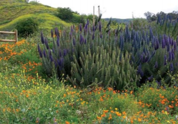
- Careful and sensitive landscape planning over many years, which expertly blended the established hillside landscape with the new, minimizing the impact to the land, with many of the existing trees protected either in-place or relocated within the community

- Donated 160 acres of land to Southwest Resource Management Association, the local land conservancy as permanent open space and habitat conservation area, which are abundant with natural trails
- Donated nine acres of land and US$180,000 to support the local trail construction works of Sycamore Canyon Trail and the Poison Oak Trail for public recreational use

- Eight consecutive year support of biological studies to preserve and promote biodiversity of the Project
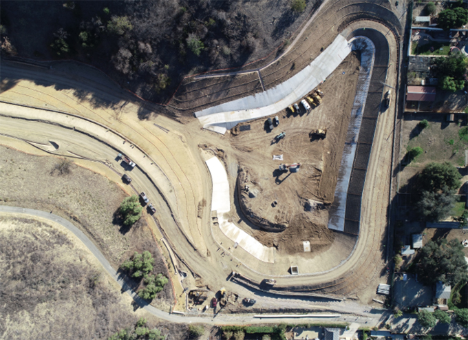
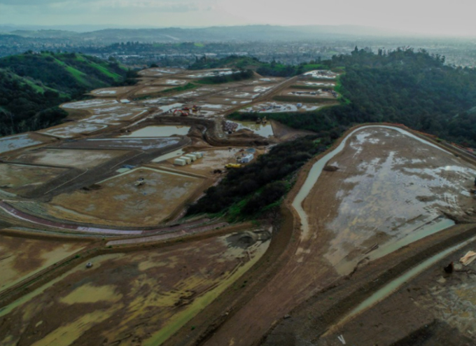
- 2020 awardee for “Outstanding Stormwater BMP Implementation Project” by California Stormwater Quality Association; the storm drain system helps significantly reduce hazardous flooding and runoff risks both for the Project site and its downstream residents, via implementation of Best Management Practices (“BMP”):
- On-site rainfall retention through micro-retention basins
- Effective erosion and sediment control
- Real-time aerial imagery to identify potential pollutant sources

